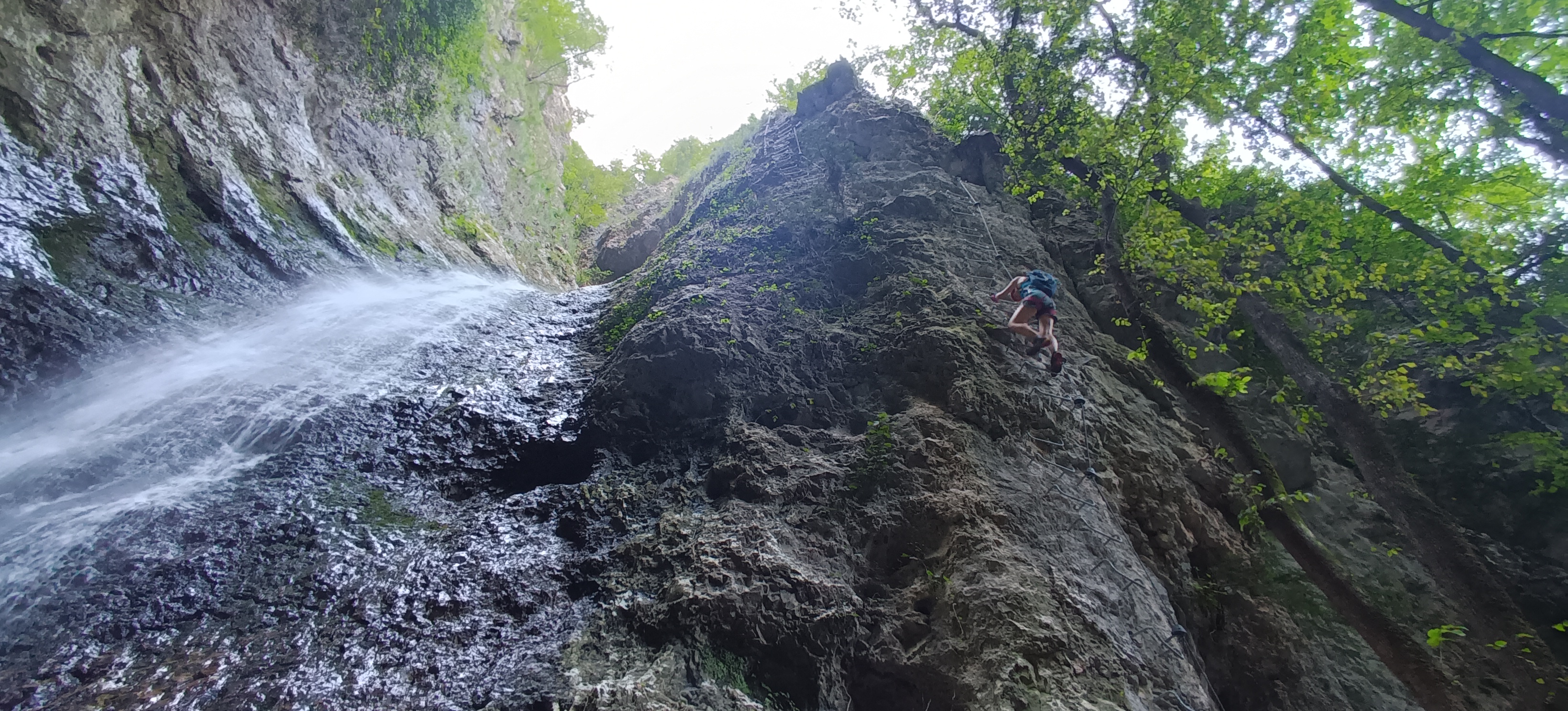
Overview

A beautiful and new via ferrata winds through a gorge in the Adige Valley (Val del Rì). This route is ideal even on the hottest days, as it often follows the stream running through the gorge.


The ferrata is mainly equipped with ladders and metal rungs, well spaced, and features stunning Tibetan bridges that cross the gorge. Despite is well equipped, it includes long vertical sections that require good arm strength. This itinerary is recommended for adults and teenagers.

Itinerary

At the parking lot.


After putting on our helmets and harnesses and having a brief briefing, we head towards the new 'Suspension Bridge', and then to the locality of Toresela, a small tower overlooking the Rotaliana plain.


From here, in just a few minutes, we enter the canyon, and shortly after, we’ll reach the via ferrata. Ready... set, go! We start right away with a nice vertical section!


Costs


The fee includes:

  • Accompaniment by a mountain guide
  • Liability insurance

The fee does not include:

  • Transfers and guide expenses (including overnight stay)
  • Accommodation in the refuge and additional expenses
  • Rental of technical equipment (harness, helmt, via ferrata kit)
  • Everything not specified in "Included in the fee"

Equipment

  • Harness *
  • Helmet *
  • Via ferrata kit *
  • Possible lanyard with a locking carabiner
  • Mountain backpack
  • Via ferrata gloves
  • Approach shoes or boots
  • Sportwear
  • Sunglasses
  • Adequate food and especially water


The equipment marked with (*) can be provided by the guide if you do not have it, at a cost of 10 euros per item.

Where do we meet

Get directions to this location

Next dates

  • From August 2024 To October 2024
    95.00 EUR

Inquire about

Additional Information

  • Day
    1
  • Partecipants
    Min. 2 - Max. 5
  • Minimum Age
    14
  • Difficulty
    Difficult
  • Maximum elevation
    630m
  • Km
    5.8km
  • Approach
    0.10h

Your review

How much did you like it?

Your email address will not be published. Required fields are marked *

Copyright © 2024 AltitudeExplorer. All rights reserved with